
|
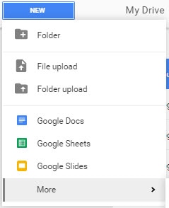
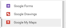
Geography and history can come alive when students create an interactive map with one of the apps recently added to our Google Drive/G Suite for Education. “Google My Maps” now shows up when clicking New and then More.
Students can pin locations, and with each pin, add photos and text to share information interactively with their audiences. 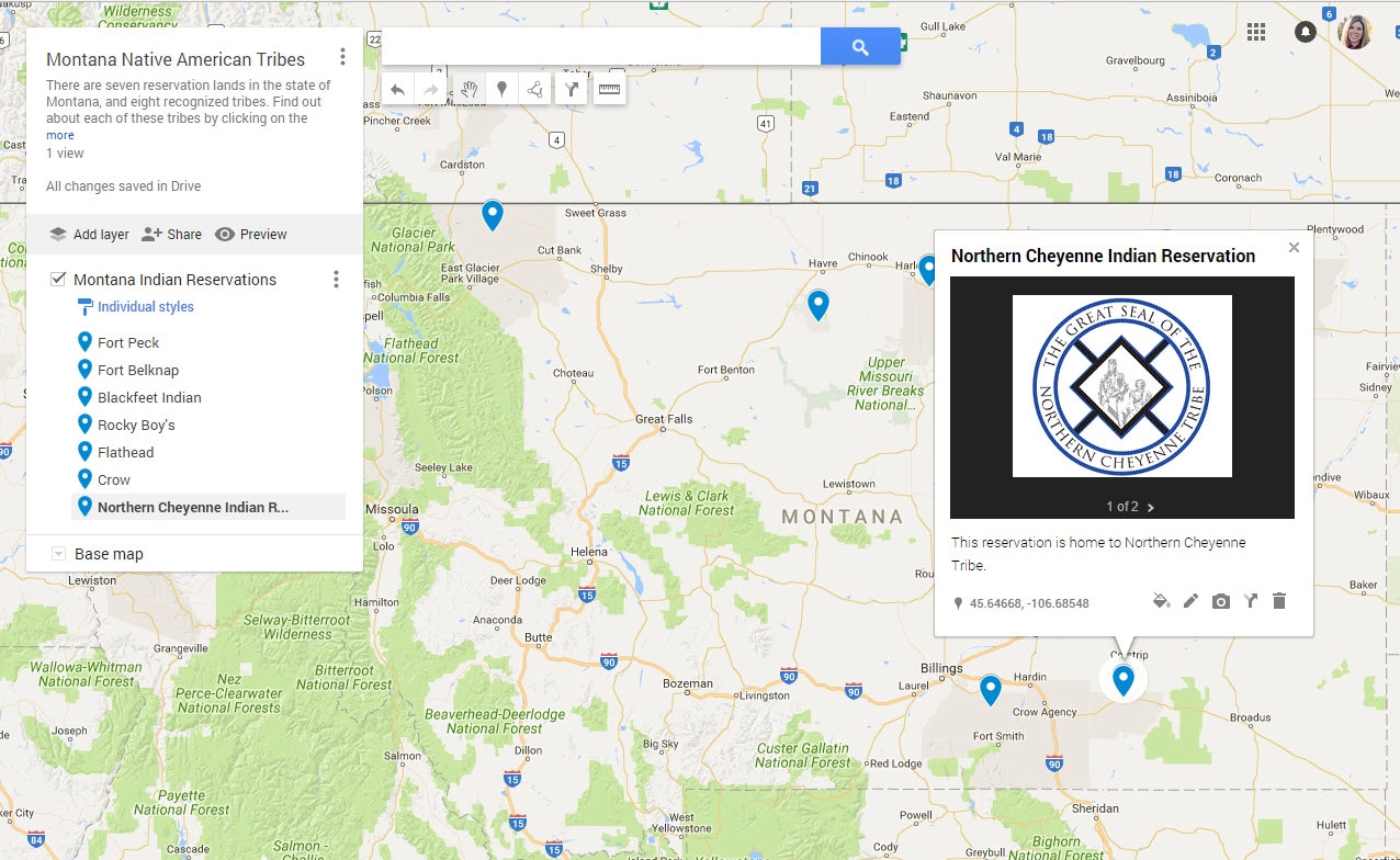 Some additional features including changing the type of base map used, latitude and longitude noted on each pin, and a ruler tool that will measure distances between locations. These options expand the possibilities of using My Maps as a presentation tool, a geography lesson, or a math lesson. Check out this sample interactive map to see the potential of this tool. Instructional and tech coaches are a great source of support for planning these type of lessons, integrating technology with content to create an engaging project with students.
0 Comments
Leave a Reply. |
AuthorAs an instructional coach for technology, I get the pleasure of working with 1 preschool and 15 elementary schools to support integration of technology with classroom instruction. Archives
August 2020
Categories |
 RSS Feed